



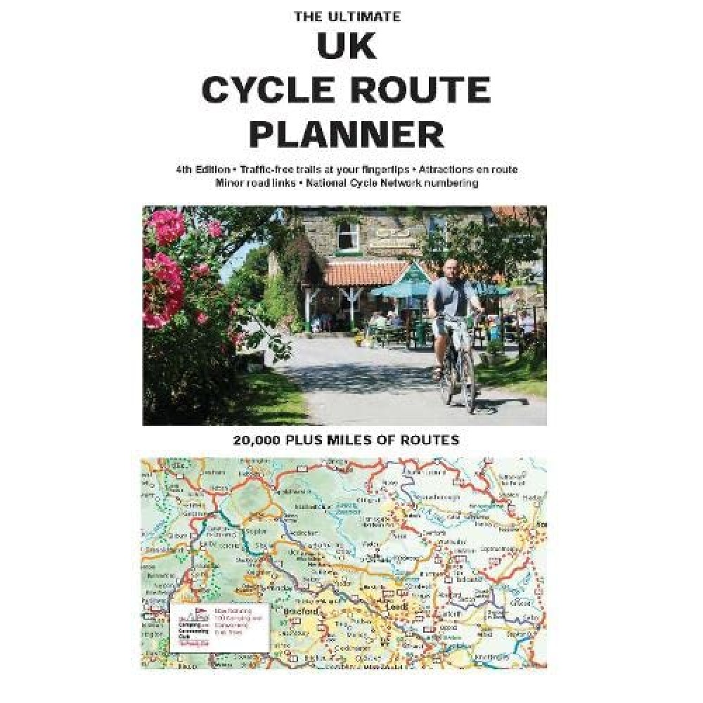
Brings all of the UK’s signed cycle routes together on one map.
Uses the outstanding quality and detail of Times Comprehensive Atlas mapping, Sustrans’ National Cycle Network and other popular cycle trails are featured and defined – traffic free or on road.
Family cyclists will love the listed traffic free trails.
Other routes include regional routes such as county cycle ways and those National Trails on which bikes are allowed such as the Pennine Bridleway and the Ridgeway.
Many hundreds of miles of minor road routes.
There are also links shown to signed cross-channel routes such as the Avenue Verte (London-Paris), so that long distance route planning is also made easy.