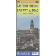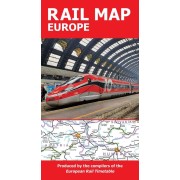


Järnväg och bilkarta, skala 1:3,350 000
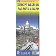
Showing all passenger rail lines from western Ireland to east of Moscow and from Scandinavia to southern Italy is challenging. We feel that this map does a good job of showing high speed rail lines separately from regular lines, motorwats and major highways, and all significant urban areas. This map is a political map showing each country in a diferent colour, and grades cities by different dots.
By adding roads as well as rail lines (while placing the emphacis on rail travel), those parts of Europe not having rail connections can still be explored (think of Sardinia, Corsica, Malta etc.)
Ferry routes are also shown and the E classification highways are noted.
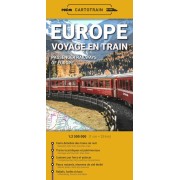
Kika på Järnvägskarta Europa