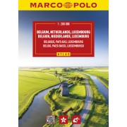
Benelux och Norra Frankrike - Skala 1:150 000 - Utgiven 2026
Atlas i A4 format (22 x 29cm) med praktisk spiralbindning.
Innehåller detaljerade kartor, avståndstabeller, stadskartor, körinformation, och ett utförligt index med ortnamn.
Vägar med gröna markerade kanter indikerar natursköna vägar och är perfekt när du vill komma bort från motorvägen eller utforska naturen i ett område.
Teckenförklaring på flera språk.
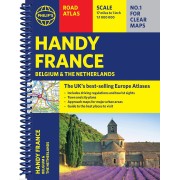
Michelin Road Atlas Benelux and North of France is the perfect companion for an enjoyable and safe drive. Convenient and easy to use thanks to its spiral bound cover, Michelin France Atlas will provide you with precise and reliable information with its mapping scaled 1/150 000 for an enjoyable journey in Northern France, Belgium, Luxembourg and Netherlands. The route planner as well as the time and distance charts will help you plan and optimise your journey, whilst new location maps on top of each page as well as highly pratical street maps will ensure an easy navigation within the atlas. Tourist sights, leisure facilities and scenic routes will add pleasure to your journey.