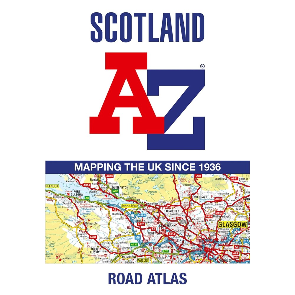
Navigate your way around Scotland with this detailed, full-colour and easy-to-use A-Z Road Atlas.
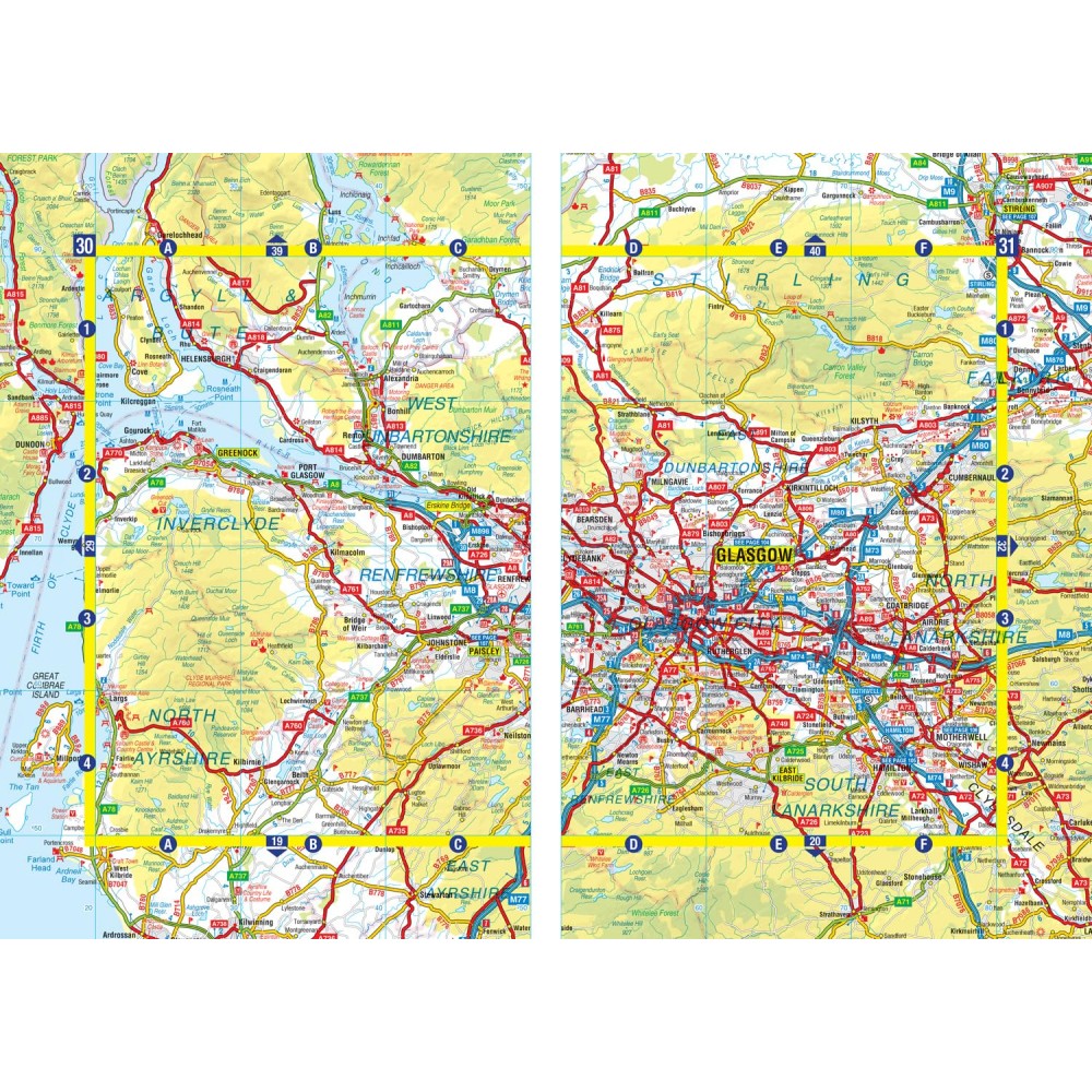
From the border to the north coast, the mainland pages scale is 3.5 miles to 1 inch and the Western Isles, Shetland Islands and Orkney Islands scale is 4.5 miles to 1 inch.
Covering the entire country, this road atlas includes the following features:
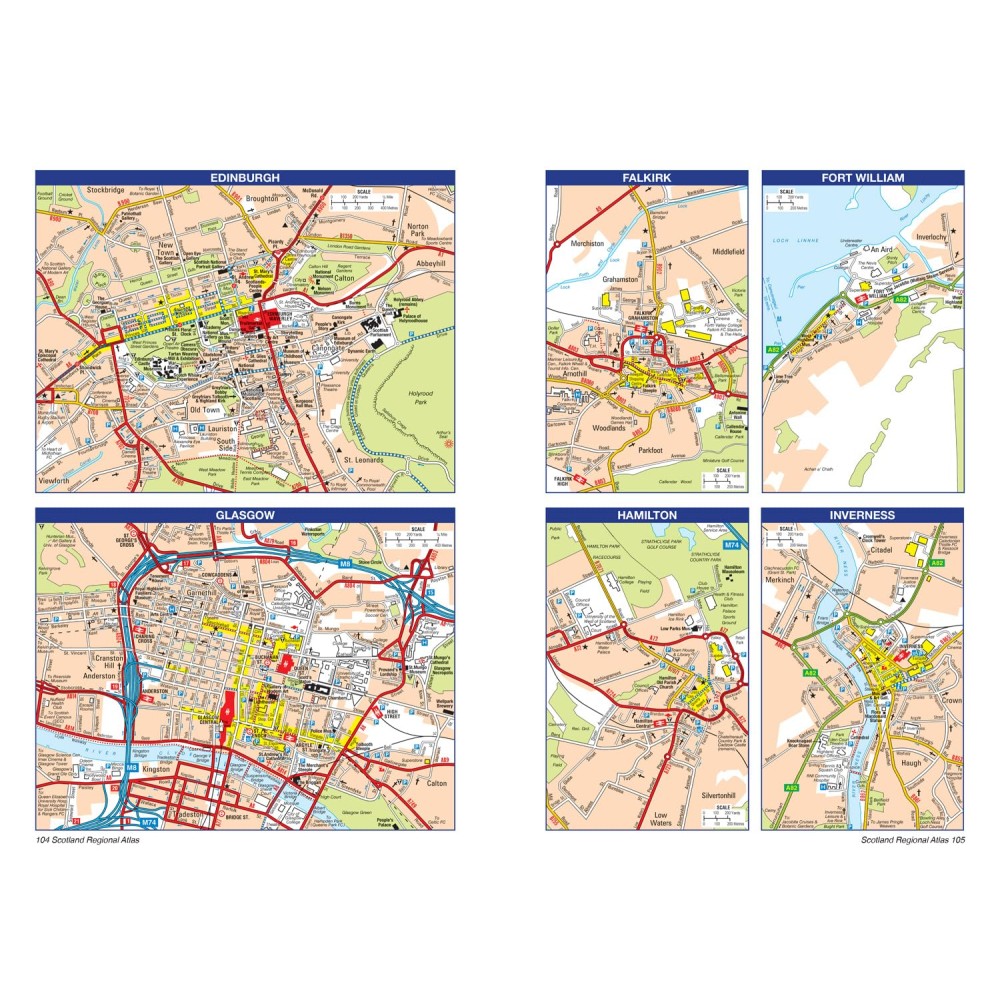
20 city and town street maps are included for Aberdeen, Aviemore, Ayr, Dumfries, Dundee, Dunfermline, Edinburgh, Glasgow, Falkirk, Fort William, Hamilton, Inverness, Kilmarnock, Kirkcaldy, Motherwell, Oban, Paisley, Perth, St Andrews and Stirling. Also included is a comprehensive index to cities, towns, villages, hamlets and locations.