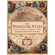
From the publication in 1595 of the first "atlas" by the Flemish cartographer Gerhard Mercator, the term has become a universally adopted title for books containing accurate, uniform and evenly spread maps of all or some of the world. This is an atlas with a difference.
Few of the maps in this book could reasonably be called "accurate" in the modern sense and could almost certainly not be used to plan a journey. Yet this atlas can help us to travel in a way that regular atlases do not, because by looking at old maps and getting to know their stories we can be transported back to the times in which they were made. The generous, full-color illustrations of each map in this large-format book range from the Klencke Atlas (1660) to Hokusai’s map of China (1840–41), from a 1682 pirate map of Guatemala to 20th-century cartographic postcards featuring maps of Australia.