One side of this illustrated map depicts the Thames and its estuary, where the story begins. The other side follows Marlow’s journey up the Congo River—the very river where Conrad once worked and which inspired his novella. There’s also a map showing the colonisation of Africa from 1880 to 1914
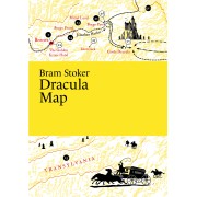
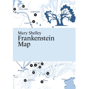
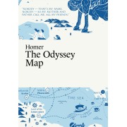
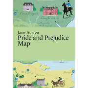
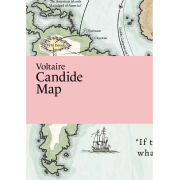
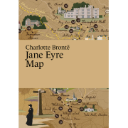
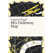
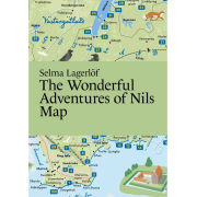
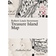
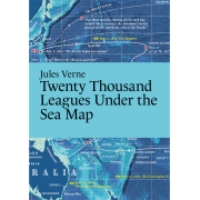
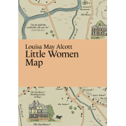
Literary Maps publishes detailed illustrated maps for classic books. The places in the book appear on the maps in the order they are mentioned in the text. If there are too many places to mention all, the most important places are highlighted. In some maps, the routes of the main characters are also shown.
Contains an illustrated map, not the full text
Size: The map is printed on the front and back side of one paper, 297x420mm - folded to 105x148mm
Printed on recycled paper, FSC-certified