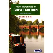
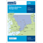
Imray ed. 2016 - Skala 1:625 000
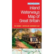
First published over 60 years ago when interest in reviving Britain’s network of navigable and rivers was starting to gather pace, this map provides the best coverage of the system in England, Wales and Scotland. Distances, the number of locks and restricting dimensions are given for each waterway. The simple cartography defines rivers, broad and narrow canals against generalized relief and the major road network.
The 2016 edition has been updated to show progress in restoration schemes and other changes.