This illustrated map showcases the strange surprising journeys of Robinson Crusoe, of York, as described in Daniel Defoe’s classic novel, published in 1719. It also features a detailed map of the uninhabited island located on the coast of America, near the mouth of the Great River Orinoco, where Crusoe spent 28 years..
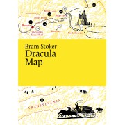
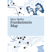
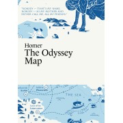
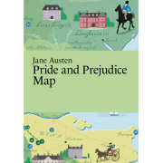
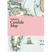
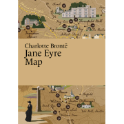
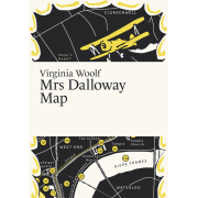
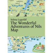
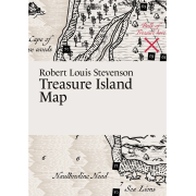
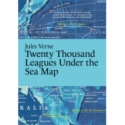
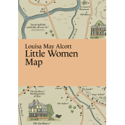
Literary Maps publishes detailed illustrated maps for classic books. The places in the book appear on the maps in the order they are mentioned in the text. If there are too many places to mention all, the most important places are highlighted. In some maps, the routes of the main characters are also shown.
Contains an illustrated map, not the full text
Size: The map is printed on the front and back side of one paper, 297x420mm - folded to 105x148mm
Printed on recycled paper, FSC-certified